October 22, 2015
As we watch Hurricane Olaf and now Hurricane Patricia in the Pacific, I want to take a look back at the Atlantic’s Joaquin.
Joaquin was not your typical Atlantic hurricane. The storm developed out of an upper level low that wandered westward from the Central Atlantic. It slowly backed into the Bahamas before being booted out the big upper low that eventually helped drown South Carolina.
Below are eight sets of two satellite pictures, one set a day, from September 27 thru October 04. Standard infrared left, water vapor right.
September 27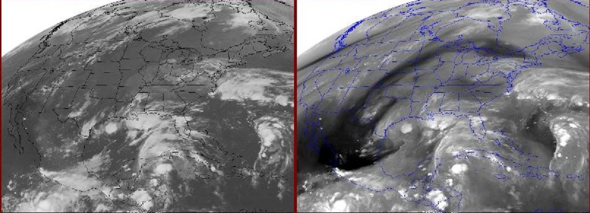
September 28
September 29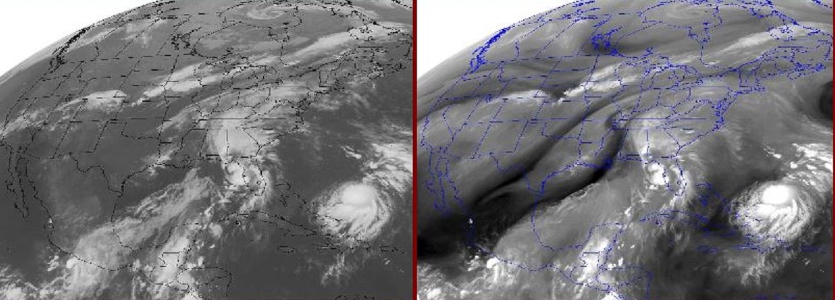
September 30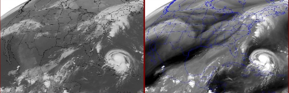
October 01
October 02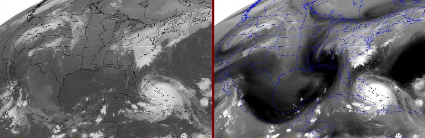
October 03
October 04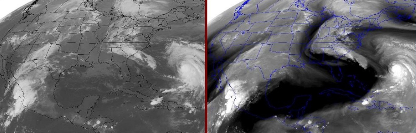
By the end of this picture sequence a healthy portion of South Carolina was displaced by 20 to 25 inches of rain.
Olaf and now Patricia are currently hurricanes in the Pacific. Both of these tropical systems may have some influence on the U.S.
The above example shows how a direct hit is not necessary to inflict great damage.
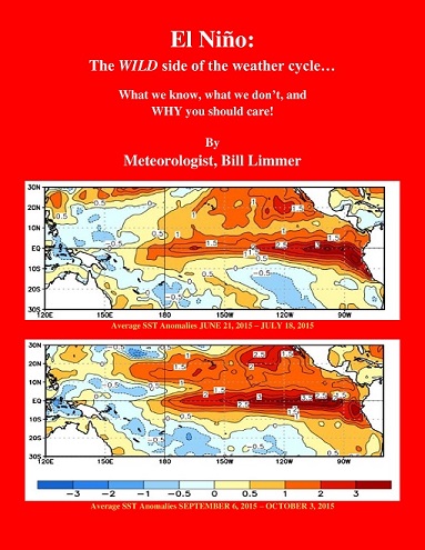
Learn more in my latest e-book El Niño: The WILD side of the weather cycle…
What we know, what we don’t, and WHY you should care!
Wild Bill