December 10, 2015
New storm spreads threats south into California.
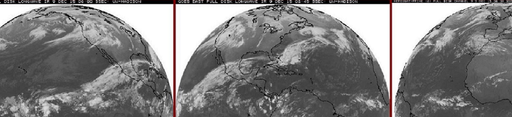
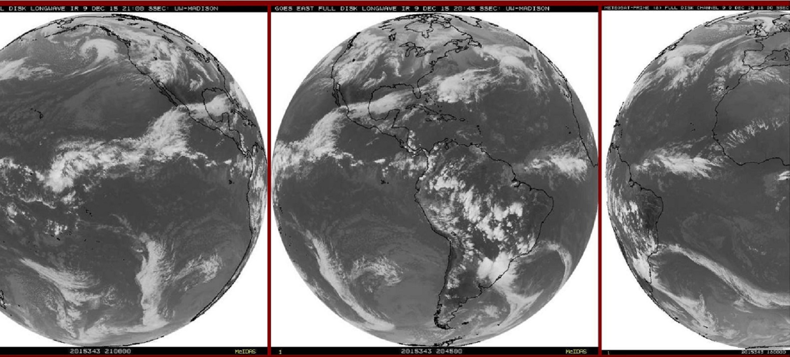
Below one of the last visible pictures of the day showing the next system approaching.
Below are some rather strong statements from the NWS late Wednesday concerning various Marine threats as far south as Ventura County in Southern California. Sounds more like an El Niño season for Southern California, but this is not the big wet pattern that is highly anticipated for LA and San Diego, just a passing wave. The hope of course, in time, more waves and a jet stream a little farther south and an active winter is in business.
709 PM PST WED DEC 9 2015
LARGE POWERFUL SWELL EXPECTED THURSDAY THROUGH SATURDAY…
A LARGE WEST TO NORTHWESTERLY SWELL IS EXPECTED TO PRODUCE
BREAKING WAVES AT THE MORRO BAY AND VENTURA HARBOR ENTRANCES
THURSDAY THROUGH SUNDAY. THESE CONDITIONS HAVE A HISTORY OF
CAPSIZING VESSELS OF VARIOUS SIZES RESULTING IN SERIOUS INJURY OR
DEATH…EVEN TO THE MOST EXPERIENCED MARINERS. MARINERS ARE URGED
TO STAY CLEAR OF THESE HARBOR ENTRANCES.
* IMPACTS…THE CENTRAL COAST COULD SEE SURF FROM 16 TO 22 FEET.
BEACHES SOUTH OF POINT CONCEPTION COULD SEE SURF FROM 8 TO 12
FEET. THERE IS A CHANCE THAT THESE WAVES WILL BE STRONG ENOUGH
TO DAMAGE COASTAL STRUCTURES…SUCH AS PIERS. THERE IS THE
POTENTIAL FOR MINOR FLOODING IN AND AROUND BEACH AREAS.
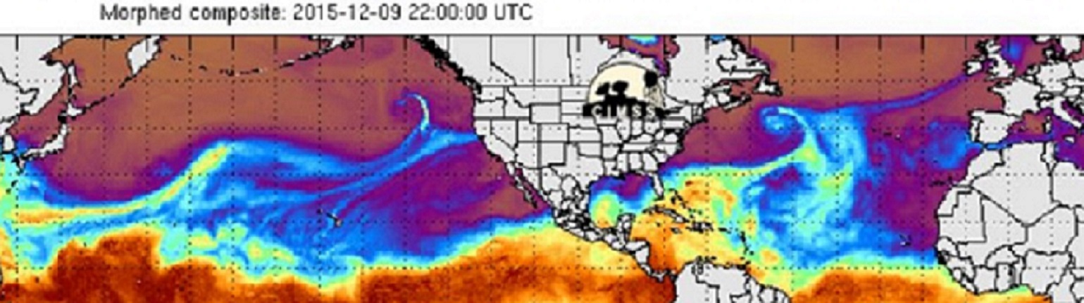
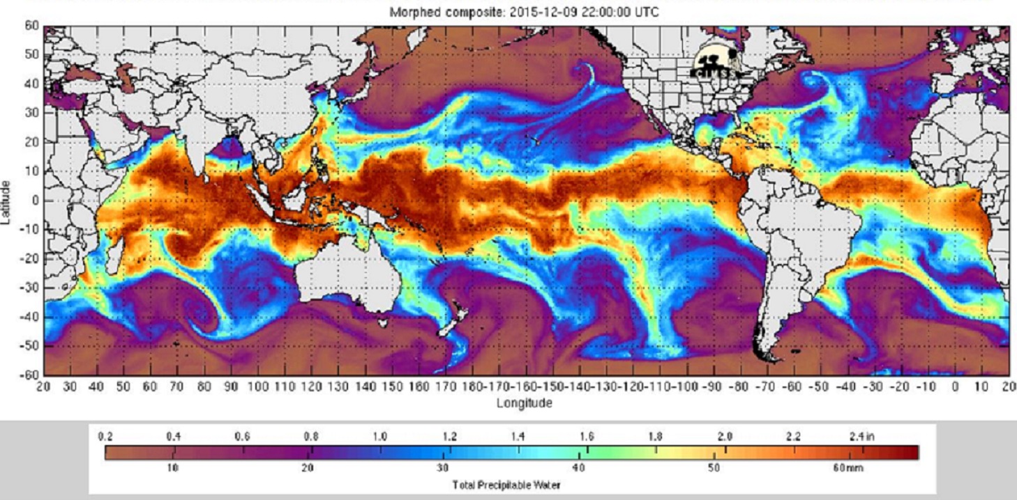
Below, image showing trail of water vapor across Pacific into the West Coast. Another trail of moisture stretches from the Caribbean across the Atlantic to the British Isles. Both areas have seen flooding rains in recent days.
Standard full disk IR showing Pacific system racing toward West Coast. But also shows our El Niño region feeding clouds across Mexico and into the Atlantic. Here is a rare look at simultaneous full disk images showing a trail of clouds from the tropical Pacific all the way to Europe. Between our Pacific Northwest and the British Isles I would not think England would see the more serious flood because of excess El Niño moisture. But these current images tell a clear story. West Coast flooding could be a worse if there were a direct link to the El Niño region of the Pacific.
All this active West Coast weather is not only finally going to bring some increment weather to Southern California. But will push east into the United States and bring many a stormy weekend. More on all that in the next day or two. Think ahead, stay safe.
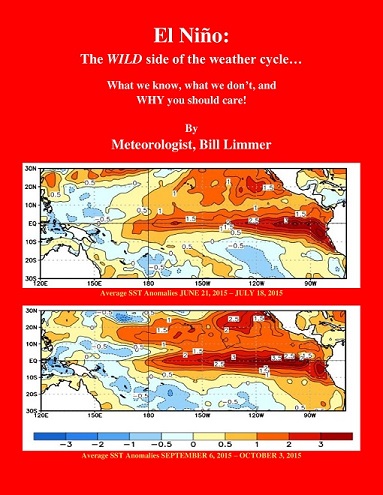
Learn more in my latest e-book El Niño: The WILD side of the weather cycle…
What we know, what we don’t, and WHY you should care!
I show how this years Pacific water temperatures compare to the 1982 and 1997 events and highlight the kind of weather episodes that these stronger El Niño’s tend to bring.
If you like the blog you will love the book.
Wild Bill.