November 18, 2015
I shared the below forecast map below in this blog a week ago, November 11.
Forecast map of 500mb flow from the Nov 10 18z run for Thursday Nov 19, 2015 at 12z or 6am Central Time.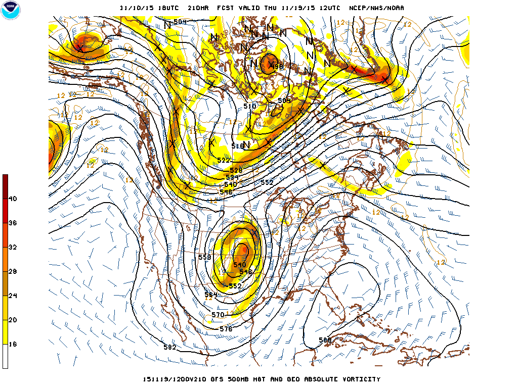
Actual 500mb flow, and water vapor image from Tuesday evening below,
36 hours ahead of the forecast map above, but pretty good on position and strength of major features, especially the big storm centered on the Kansas, Oklahoma border. Also note digging trough across western Canada and the big ridge along the east coast. Forecast model did pretty well with second significant storm in two weeks.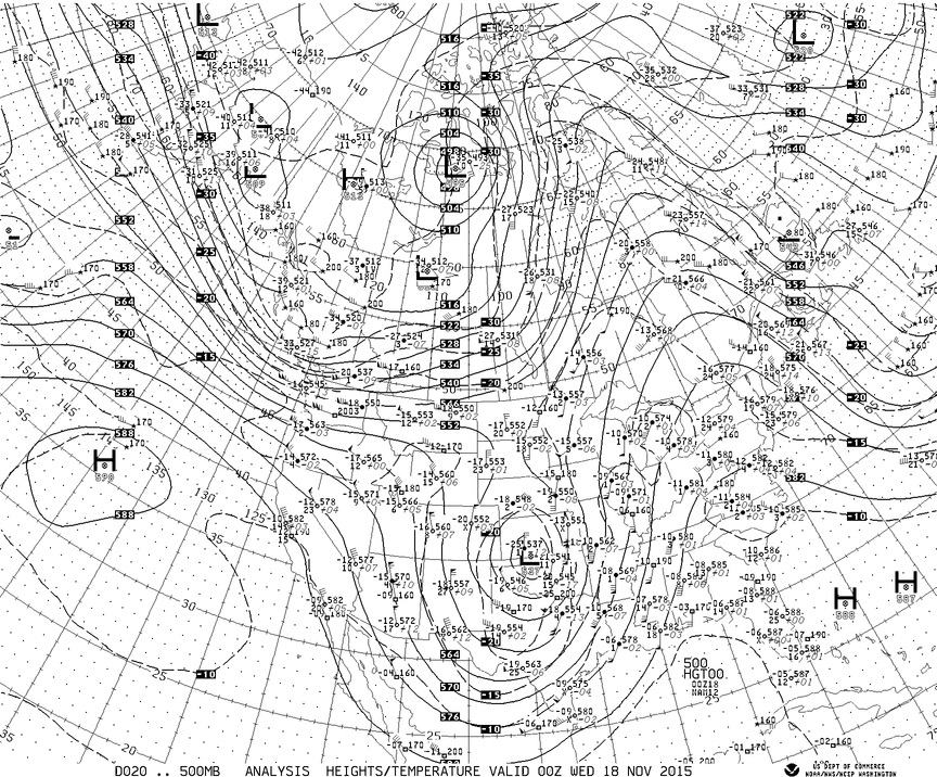
Notice the center of the storm on satellite image below matches position of 500mb low above.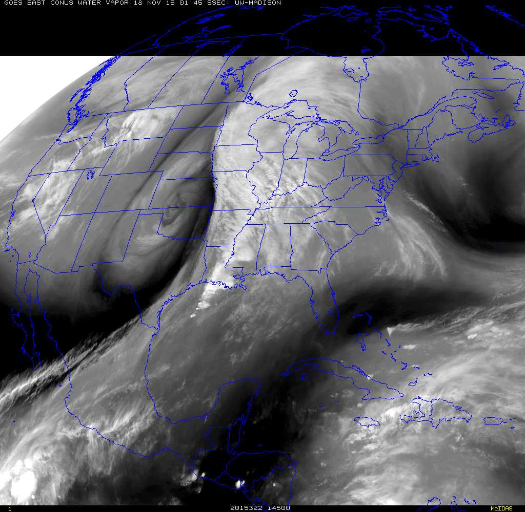
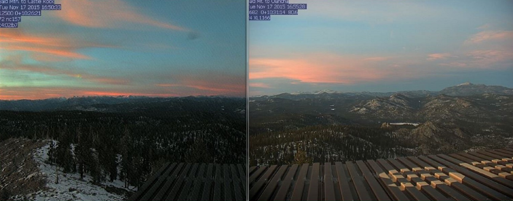
Afternoon and sunset snapshot showing only thin snow cover high in the Southern Sierra after this weeks fast moving storm.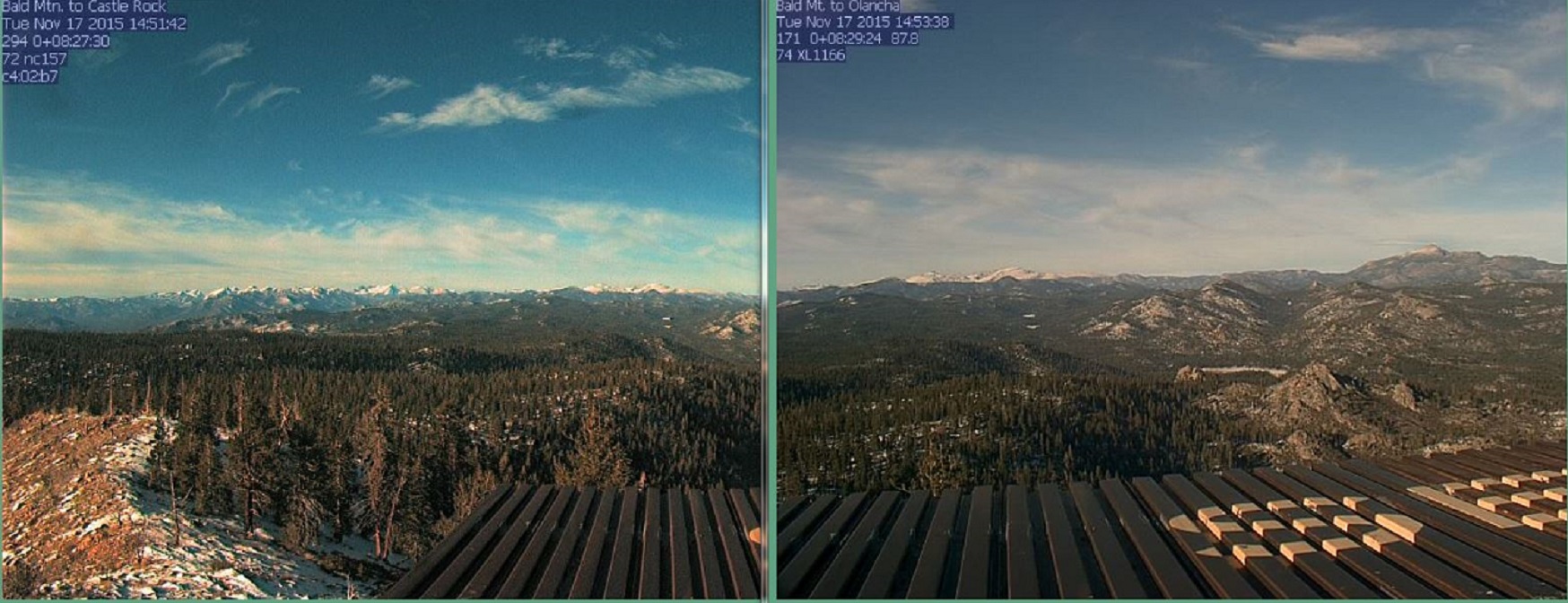
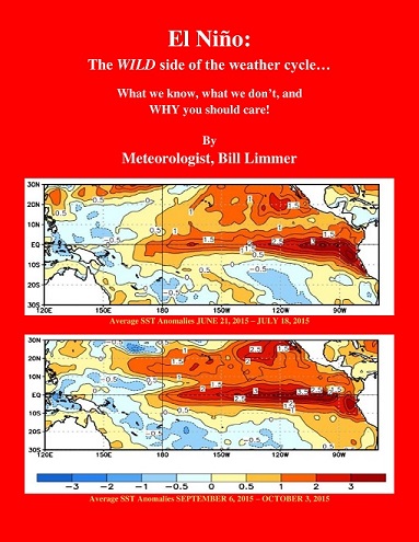
Learn more in my latest e-book El Niño: The WILD side of the weather cycle…
What we know, what we don’t, and WHY you should care!
I show how this years Pacific water temperatures compare to the 1982 and 1997 events and highlight the kind of weather episodes that these stronger El Niño’s tend to bring.
If you like the blog you will love the book.