November 11, 2015
The most recent weekly sea surface temperature anomalies continue to show extreme warming in the 3.4 Niño region of the Pacific. After trailing for a few weeks in October, this years sea surface temperatures have pushed ahead of the record pace of 1997 in the last two weeks.
07OCT2015 29.1 +2.4 08OCT1997 29.2 + 2.6
14OCT2015 29.1 +2.4 15OCT1997 29.2 + 2.5
21OCT2015 29.2 +2.5 22OCT1997 29.3 +2.6
28OCT2015 29.4 + 2.7 29OCT1997 29.2 +2.6
04NOV2015 29.5 + 2.8 05NOV1997 29.2 + 2.6
The + 2.8 posted for a week in early November far exceeds the most recent monthly ONI value for October which was +1.7. So the current ONI value is still likely to increase in the next month or two as the warmer temperatures from recent weeks are factored into the longer term averages.
So we are still talking truly serious historical crap here.
We need to keep an eye on what is next.
Currently that means beware of severe weather on Veteran’s Day in central parts of the country. 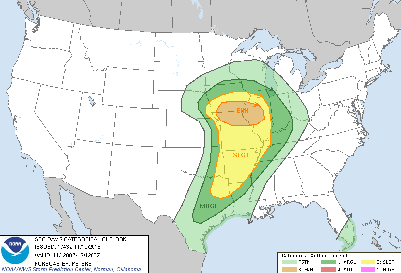
The “Enhanced” area is the scale’s orange alert. As outlined in the Storm Prediction Center’s Convective Outlook, “THE POTENTIAL FOR WIND DAMAGE AND TORNADOES MAY INCREASE DURING THE AFTERNOON ACROSS THE MID MISSISSIPPI VALLEY. ”
Forecast map of 500mb flow 12z run for November 11, 2015 at 21z or 3pm Central Time 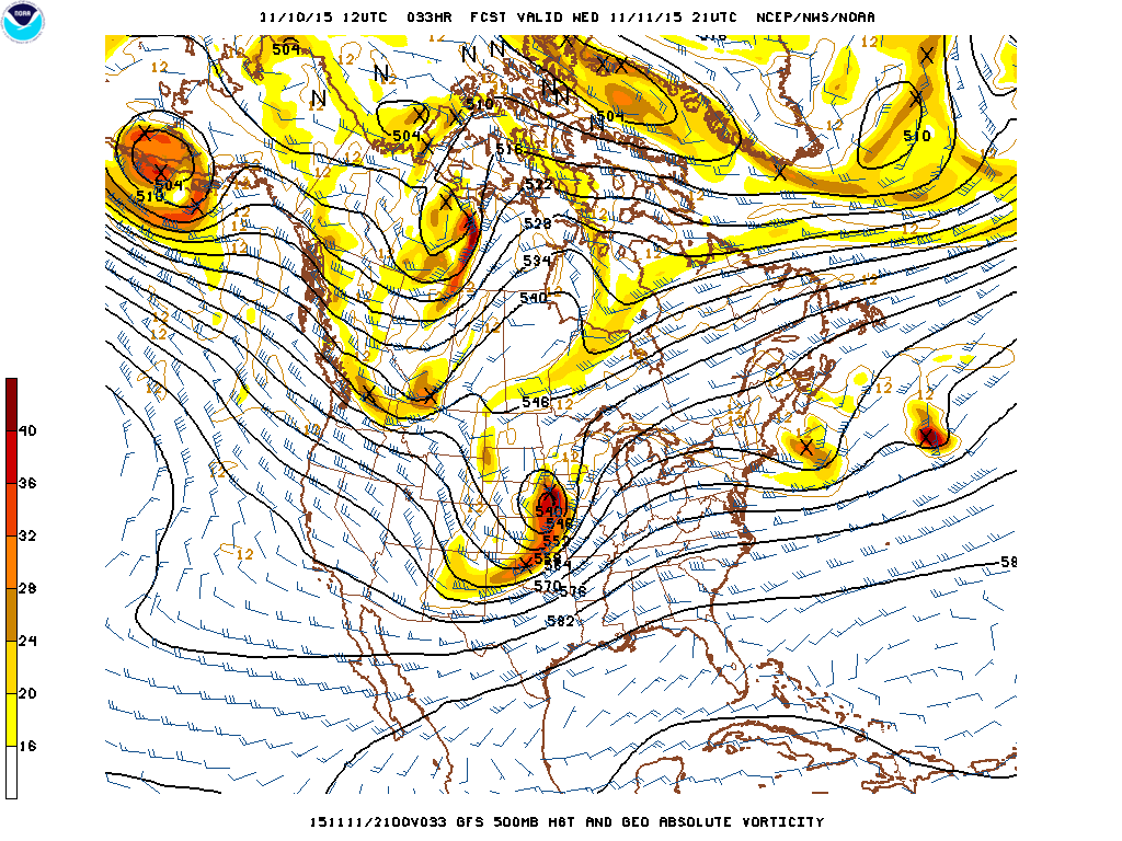
If above produces severe weather, tornadoes and blizzard conditions.
What can we expect from something that looks like below.
Forecast map of 500mb flow 12z run for November 19, 2015 at 12z or 6am Central Time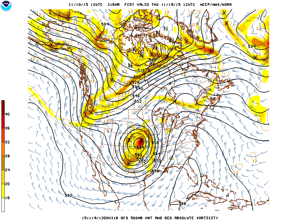
Forecast map of 500mb flow 18z run for November 19, 2015 at 12z or 6am Central Time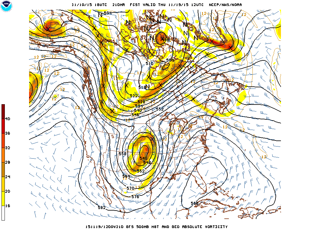
Still 8 days and many models runs away, but definitely the type of bizarre weather pattern that folks in the central part of the country need to know about in advance. Everyone could use some forewarning and preparations before a storm of this magnitude.
October should have been the quiet pleasant month, November gets stormier in the “average” year. With a current weekly SST anomaly of +2.8, this November is not expected to be “average”.
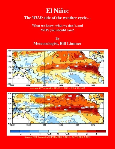
Learn more in my latest e-book El Niño: The WILD side of the weather cycle…
What we know, what we don’t, and WHY you should care!
I show how this years Pacific water temperatures compare to the 1982 and 1997 events and highlight the kind of weather episodes that these stronger El Niño’s tend to bring.
If you like the blog you will love the book.
Wild Bill